
Finally. Hey, save the best for last, and then make 'em wait.
A couple of trivial observations from someone who mostly knows about the Navajo from Tony Hillerman novels. First, they're incredibly patriotic. Signs outside of tribal government buildings honoring the troops, the ever-present awareness of the Code Talkers, the KTNN radio show that signs off with the "Stars and Stripes Forever." One of those "Adopt a Road" signs along US-160 that's in memory of "James Tsotse, Our Veteran."
Secondly, apparently country music is a big hit there. KTNN, the big station out of Window Rock, mostly plays country, although they do seem to have a show or two of Navajo chants in the afternoon. And while you can get just about every important Front Range radio station before dawn, during the day Monument Valley doesn't have much in the way of selection.
The talk part of KTNN is interesting in its own right. Navajo's an old language, but it's not like they have words for much invented since, oh, 1400, so there's a lot of English interspersed, which sounds to the English-speaker like, "codetalkcodetalkcodetalkcodetalkcodetalk GM Certified Technicial codetalkcodetalkcodetalkcodetalk Uranium Workers codetalkcodetalkcodetalk 1942 to 1971 codetalkcodetalkcodetalkcodetalk."
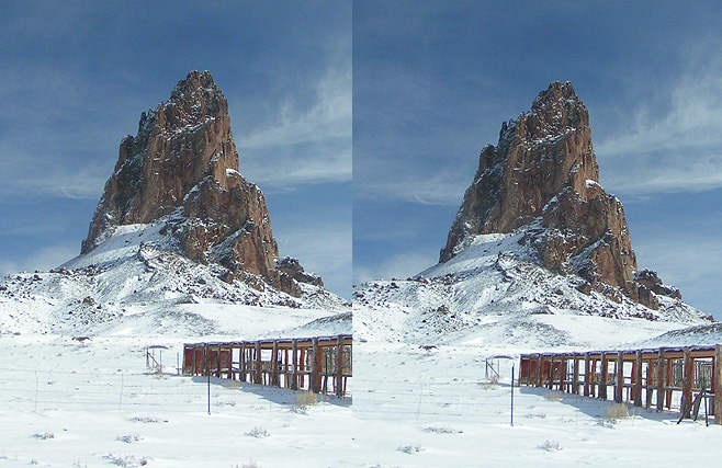
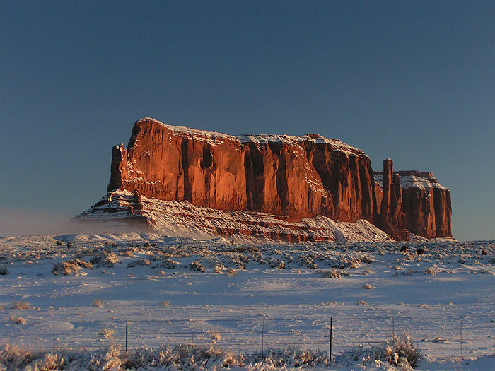
So, getting up before dawn (on vacation), to get to Monument Valley by dawn, I passed Agathla Rock. This is a stereo pair, so it helps if you have lazy eye:
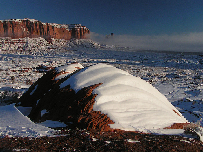
I spotted this on US-163 as I got near the Utah state line:
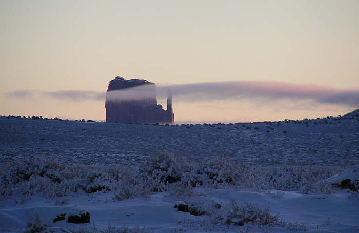
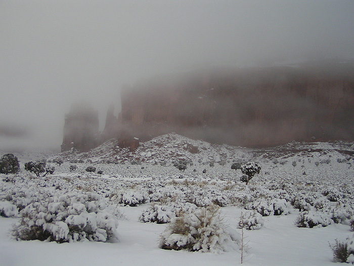
Wow. Need to stop and get that before the fog burns off. I needn't have worried:
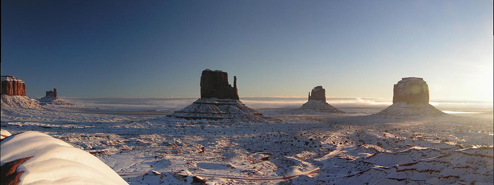
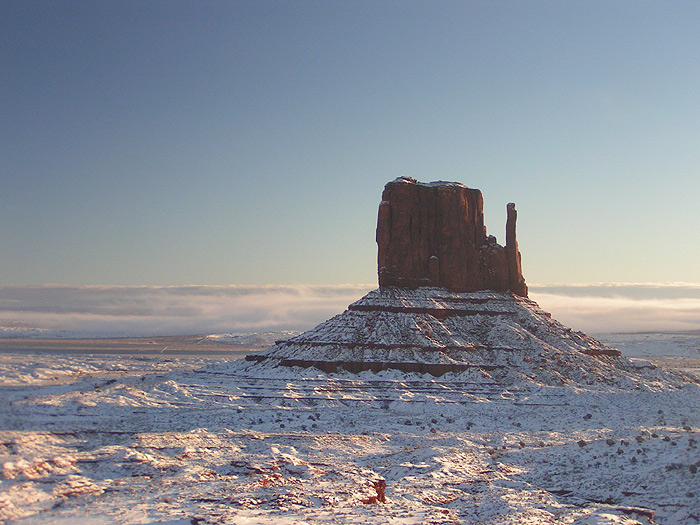
A couple of formations called, "East Mitten" and "West Mitten." I can't keep them straight, either:
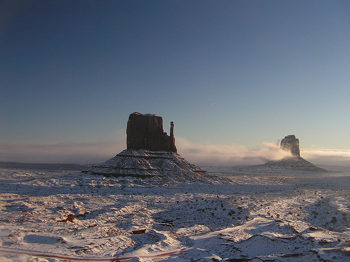
As the fog rolls in:
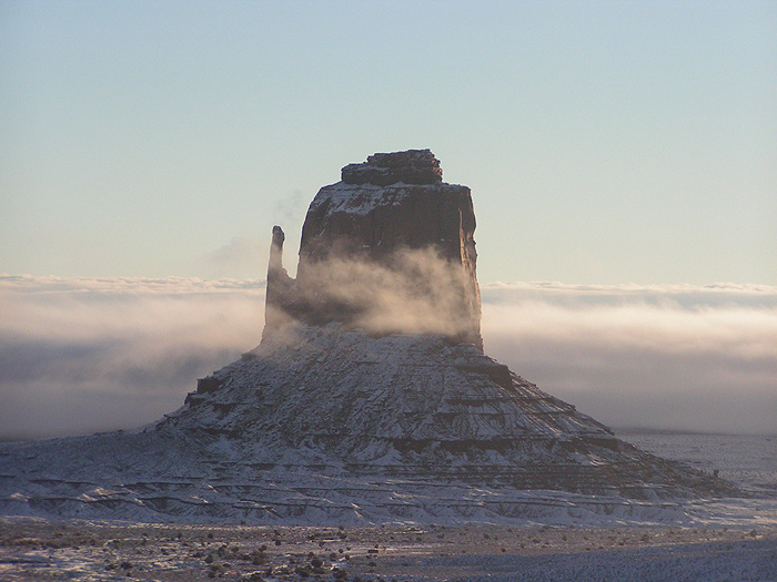

This one's a little artiste-ic, but I still like it, so you're stuck with it, too:
Since redrock dirt trails have a tendency to turn into mud and quicksand when wet, I was a little concerned about driving down into the Valley, but again, I needn't have worried. I ended up driving the Jeep down, and following the Navajo guide's truck for the tour.
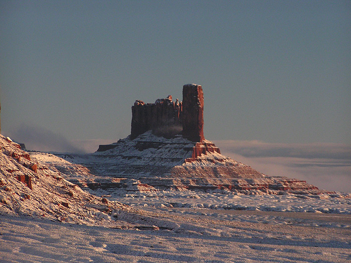
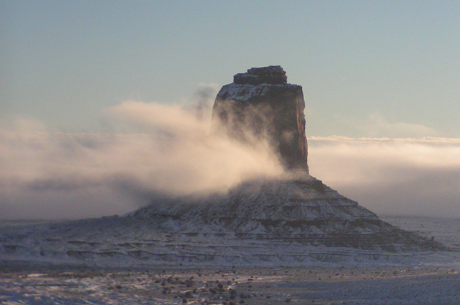
Apparently, John Ford used to sit on his deck chair for hours contemplating when the fog would lift:

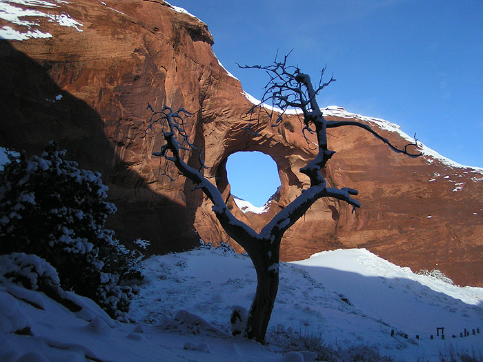
The "Restricted Area," so called because whites aren't allowed to live there - No, not really! - so called because the tour companies have to have something to charge for, has the arches. It also has a family running sheep back there. Because of the weather, they elected to keep the sheep in the pens for the morning, leaving the dogs with a lot of time on their paws. They decided to try herding the trucks, and eventually, I had to honk to get them out of the way.

The guide, Joe, had a couple of Japanese tourists (yes, with very nice cameras) in his truck for the duration. I wonder if he told them about the Code Talkers...
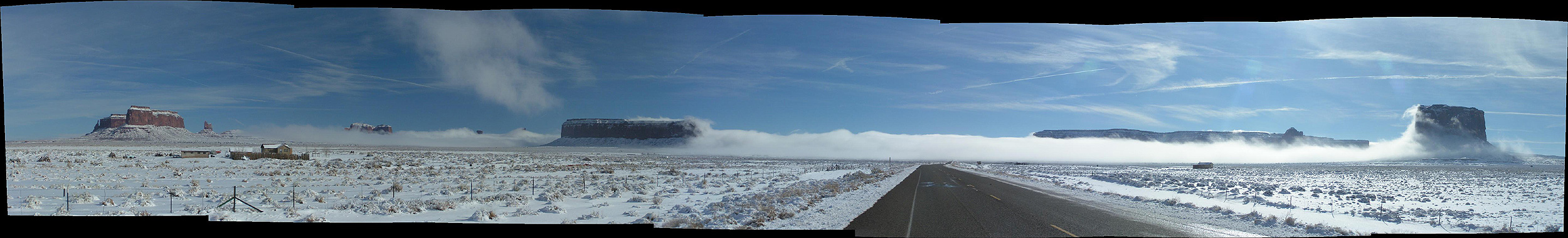
In any case, the fog continued to thicken, so by the time we got to where the Totem Pole (known to the Navajo as, "Chimney Rock") should have been, someone from the art department had taken it for another set. Here's what the fog looked like on the way back out of the Valley:
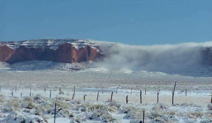
On the way out of the park, the whole thing looked like the military was testing a dry ice bomb on the other side of the mesa:
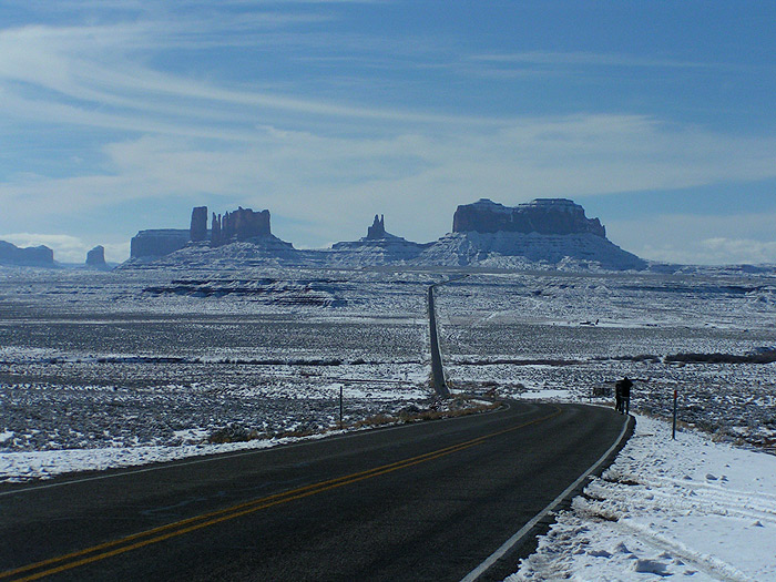
On the way out to the North, you get the iconic picture, right out of a Chuck Jones cartoon:
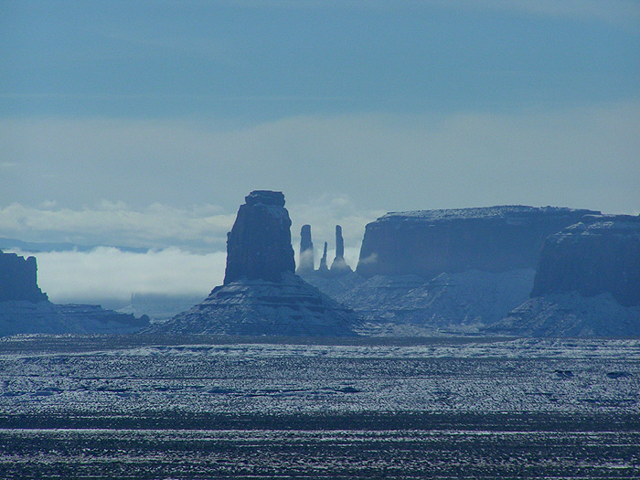
And the "Three Sisters," now that the fog had finally lifted:
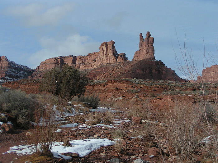
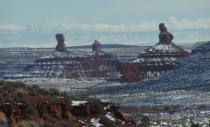
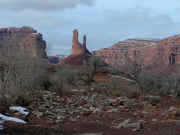
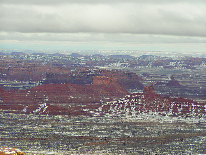
To the north, there's an area called Valley of the Gods. The rock is more worn away here, and it's not as dramatic as Monument Valley, but hey, you never know when you're gonna be back. Taking State Route 261 north, you climb up the side of Cedar Mesa, and get some breathtaking views looking back towards the valley:

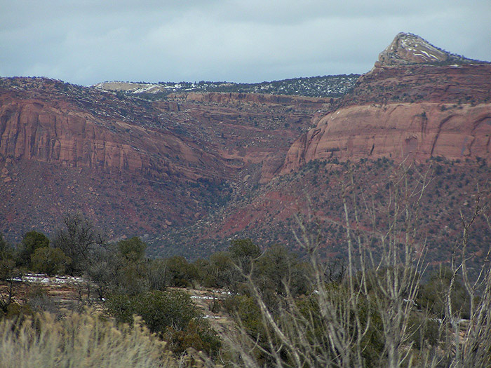
And, we're back at Comb Ridge.
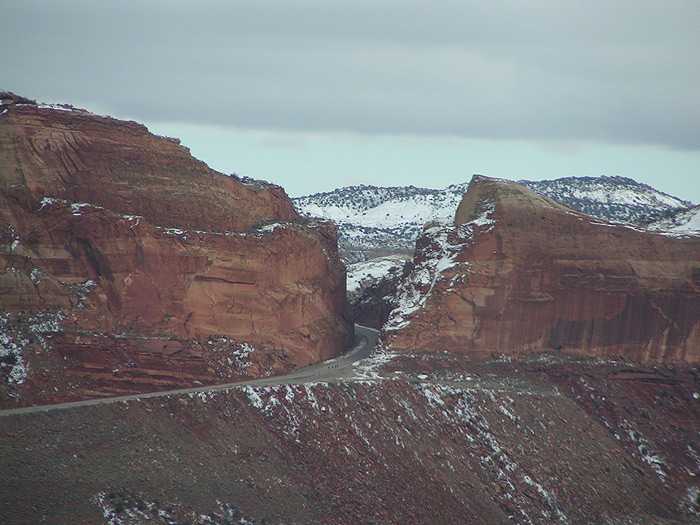
Now where have I seen that before? Oh, right...
And that dog-rattling Jeep track I took down the west side: