


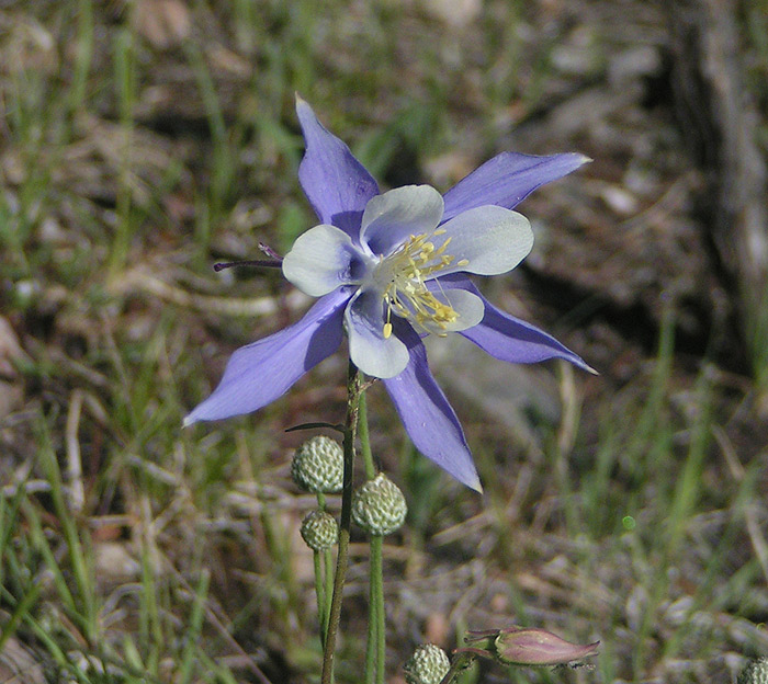
Sunday, I took the Jeep out across Weston Pass, which runs between Fairplay and Leadville. Here are the results:
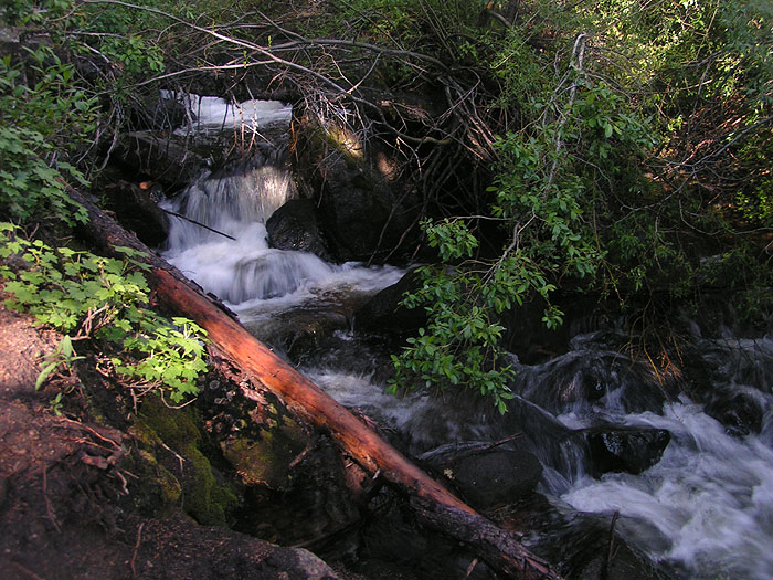
Rich's Creek Trail's trailhead is on the Weston Pass Road, just after the pavement ends:
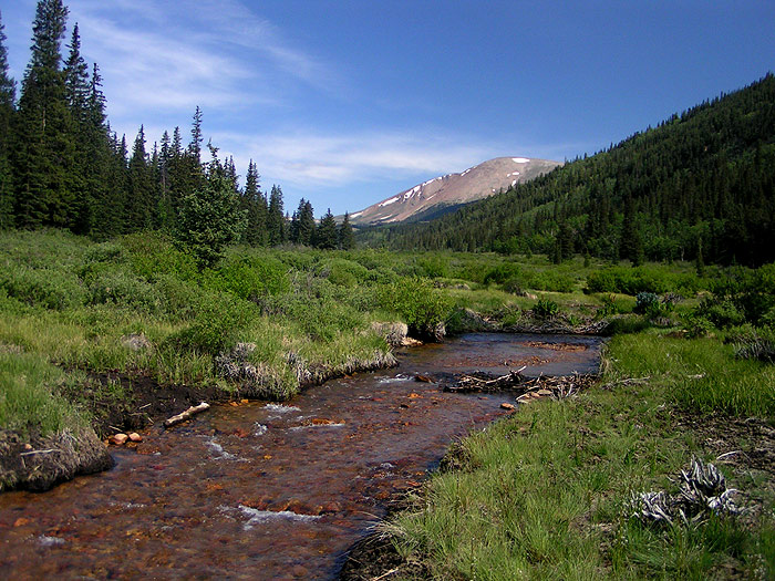
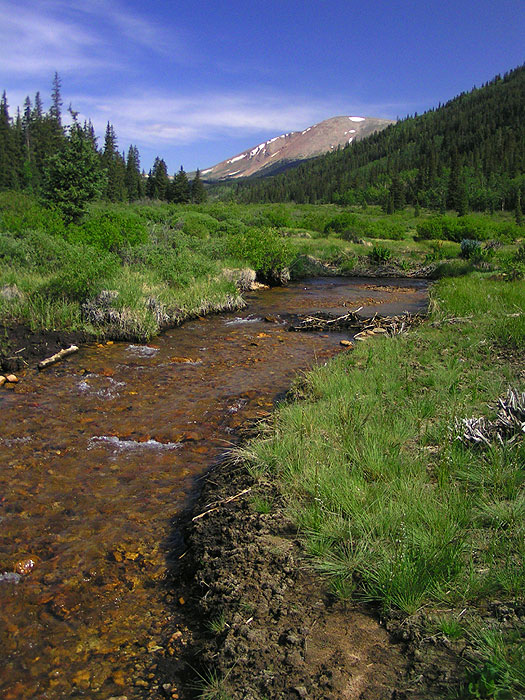
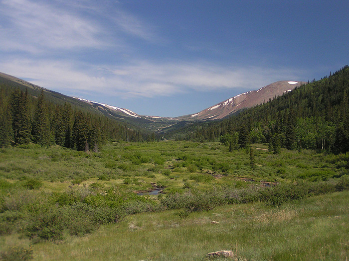
The South Fork of the South Platte runs down from the pass to near Fairplay. These pictures are facing up the river, towards Weston Peak:
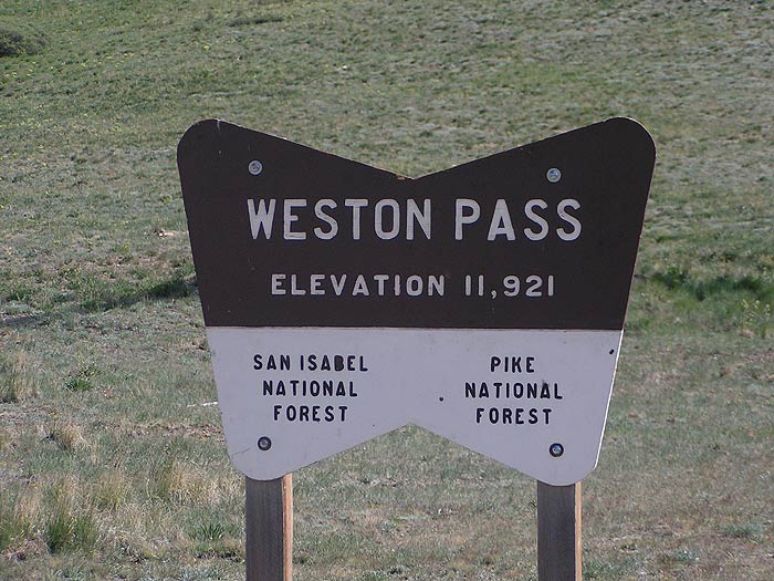
And the obligatory Prove-You-Were-Here sign at the top of the pass:
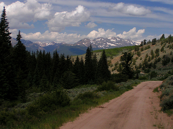
The other side is where you get the mountain views. I think the one on the left is Mt. Massive, the one on the right is Mt. Elbert. Or the other way around:

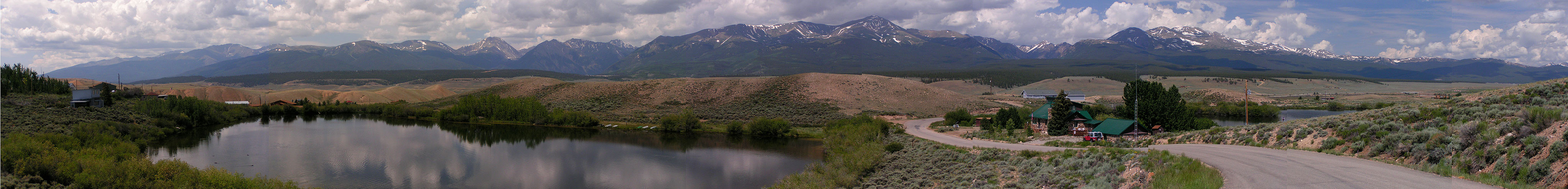
Just before you hit US-24 going up to Leadville, there's a development called Mt. Massive Lakes. It's private, which is their right, but there's no sign on the map that the ponds are restricted, so if you get there and the dog starts blaming you because he hasn't gone for a swim yet, don't blame me. It's worth wading through the "No Trespassing - Private Land" signs, though, for this:
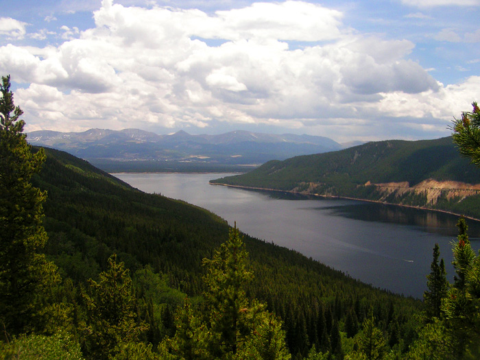
If the dog still wants a swim, there's Turquoise Lake, Leadville's main reservoir and recreation area, on the other side. I'd never been there, but now it looks like I'll have to stay overnight in Leadville sometime to get some sunrise pictures of the place:
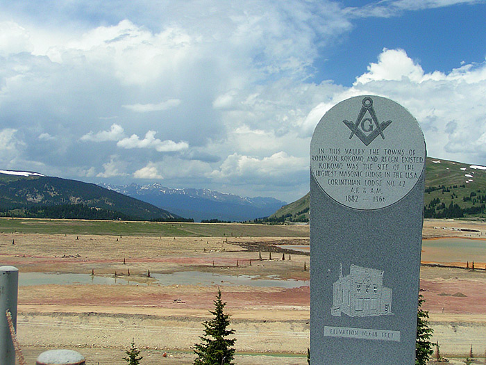
One way back is over Fremont Pass, now dominated by a large Molybdenum mine, but former home to towns:
Happy Fourth!


Comments
What beautiful photos! Thanks for sharing them here!
Hope you all had a nice 4th even though it rained. :)
Posted by: Elizabeth | July 5, 2006 7:29 AM
You should take Independence Pass over to Aspen. That is an incredible journey, with just amazing views of Mts Massive and Elbert. A very interesting drive down to Aspen as well. Be very careful on the hairpin turns. It's good to honk your horn every now & then and let people know you are coming.
Posted by: Cheryl Bower | July 11, 2006 3:32 PM